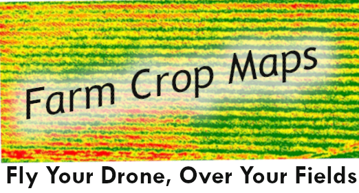
Images are typically obtained with an expensive multispectral camera attached to a drone. pictures from a standard red-green-blue (RGB) camera can provide crop prediction tools for a fraction of the cost.
Multispectral cameras provide color maps that represent vegetation to help farmers monitor plant health and spot problem areas. Vegetation indices such as the Normalized Difference Vegetation Index (NDVI) and Normalized Difference Red Edge Index (NDRE) display healthy areas as green, while problem areas show up as red.
Typically, to do this you would need to have a near-infrared camera (NIR) that costs thousands of dollars but using an RGB camera attached to a low-cost drone, reduces the cost significantly.
