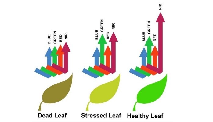
Healthier vegetation reflects more of certain types of light than unhealthy vegetation. This is the basis of calculation indexes that are calculated from UAVs or drones flying over your fields using remote sensing.

Normalized Difference Vegetation Index (NDVI) is a remote sensing technique used to assess the health and density of vegetation. Actually this has been calculated for decades from satellites like Landsat.
NDVI requires a special sensor that measure infrared light, and most growers first use indexes that can be calculated from the normal photos that a drone takes.
Visible Atmospherically Resistant Index (VARI) is the most widely used measure and doesn’t need a special sensor. VARI was designed and tested to work with RGB data rather than near-infrared (NIR) data. It is a measure of “how green” an image is. VARI is not intended as a substitute for a near infrared (NIR)camera, but it is a measure that can help determine areas to look at more closely.
Of course, if you have a sensor, or are considering a purchase, the results will be even more accurate and give you more time to take corrective action on problem areas.
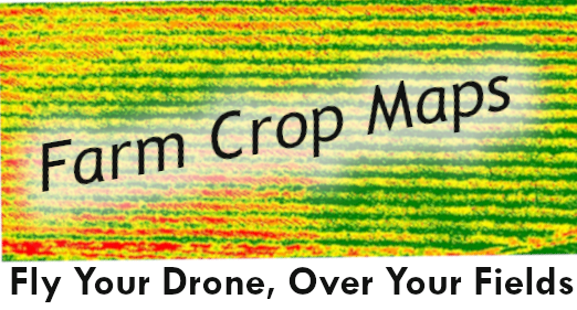
Both NDVI and VARI display colors ranging from red (indicating no life, perhaps a road) to varying shades of green indicating live plants and ranging from unhealthy (but alive) to very healthy.
